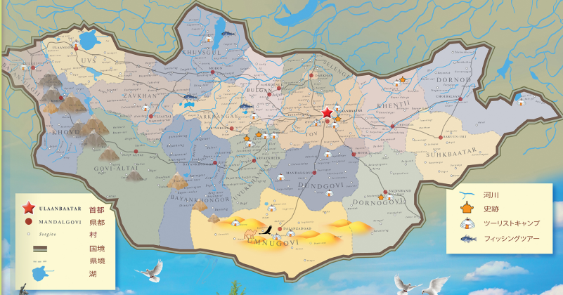
Map | Jiguur

Darkhan City

Historical Context

  • Founding (1961): Established on October 17, 1961, in the Burkhant Valley. The city was planned from the ground up to serve as a primary industrial base for northern Mongolia.
  • Soviet Bloc Development: Built with heavy economic, architectural, and technical aid from Comecon nations, including the Soviet Union, Poland, Hungary, Czechoslovakia, and East Germany. Japanese development assistance later supported the construction of its major steel manufacturing facilities.
  • Administrative Status: Originally founded as an independent municipality, the Mongolian parliament reorganized the surrounding area in 1994 to form Darkhan-Uul Province, designating Darkhan as its provincial capital.

Strategic & Economic Role

  • Industrial Core: Serves as the center of Mongolia's construction materials industry (producing concrete, cement, brick, and lime), metallurgical manufacturing, food processing, and sheepskin and textile production.
  • Educational Center: Holds the status of Mongolia's second-largest educational hub. It hosts multiple institutions, including the School of Agroecology and Business, technical vocational colleges, and specialized agricultural research institutes.
  • Transit Hub: Situated along the main line of the Trans-Mongolian Railway (connecting Ulaanbaatar to the Russian border), making it a key distribution point for goods moving across the nation.

Key Statistics & Geography

Attribute Statistic / Detail
Population (City) ~85,000 – 93,000 (Province total: ~105,000)
National Rank 3rd largest city in Mongolia (behind Ulaanbaatar and Erdenet)
Urban Footprint Area ~103 sq/km
Elevation ~665 meters (2,182 feet) above sea level
Housing Distribution ~86% live in apartment blocks; ~14% live in ger (yurt) districts
Distance to Capital ~230 km (143 miles) north of Ulaanbaatar
Climate Humid Continental ($Dwb$), characterized by long, frigid, dry winters (-30°C low) and short, warm summers (28°C high)